Namtok Huai Yang National Park
|
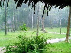
Nam Tok Huai Yang National Park covers the area of Amphur Bang Sapan and Tab Sakae of Prachuap Kiri Khan province. It is encompassed by many beautiful places. The park was designated on the 8th December 1991 as the 70th national park of Thailand, with total area of 161 sq.km.
The park is steeply mountainous on Tanao Sri mountain range at 200 - 800 meters above sea level. It is watershed of many rivers, which border Thai and Myanmar.
Huai Yang Waterfall
located near the town, there is 7 levels. The fall is suit to visit because it's peaceful. Nature trail is also the fall's attraction.
Kha Aon Waterfall or Tab Mon Waterfall
this 9 levels waterfall is located in Amphur Bang Sapan, about 60 kilometers south from the Park Headquarters.
Nam Tok Huai Hin Dat
water from 6 meters wide stream flows over 5 levels deep waterfall. It is about 50 kilometers south from the Park Headquarters.
Nam Tok Khao Lan
Off from national road number 4 about 14 kilometers, Thub Sa Kae District, is the National Park's office, and from the office about one kilometer along a stream, which has a small waterfall suitable for playing water lie in the middle way, is Khao Lan Waterfall. Its water dropped from 50-meter high cliff can be clearly seen from a ridge nearby. Over the cliff is the top level of the waterfall. It has water drop from a large-rock floor, about 10 meters high, onto the cliff. Visitor can also play water in the pond on the top level.
Yot Khao Luang
the Tanao Sri mountain range and its fertile forest built an important headwater of Huai Yang Waterfall. The steep cliff borders Thai and Myanmar, the highest peak is 1,251 meters.
|