|
|
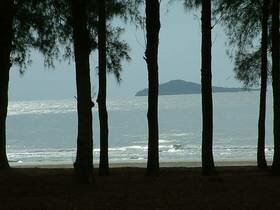
Hat Wanakon is the 18th and currently newest Marine National Park in Thailand (1995). It was opened by royal decree on 30th December 1992. The park covers a total area of 38km2 which also makes it the smallest Marine National Park. The park is relatively close to Bangkok being 315kms south. Prior to becoming a National Park, Hat Wanakon was an Arboretum and Silviculture Station, and has long been associated with forestry. The park consists of a terrestrial and marine section, the landward part (59.5%) is dominated by beach forest and plantations. The marine section (40.5%) is nearshore sandy beach and the deeper water surrounding two islands 6km offshore. Hat Wanakon is located on a narrow coastal plain which stretches from the mountains of the Tennessarim to the gulf of Thailand. The deposits are of Quaternary origin and consists of layers of material laid down in horizontal beds. The deposits are dominated by Quartz sands, with a partical size ranging from sand to pebbles. Some of the beds also have sandstone rock fragments. The particals in the beds show a degree of rounding probably produced by fluvial action. The degree of rounding, <40% is quite low and indicates the deposits are youthful, probably only having been transported the 11km from the mountains inland. These deposits can be clearly seen forming the cliffs surrounding Makha Bay. Chan Island and Thaisi Island Makha Bay Wanakorn Beach |